
Capture, Organize, Explore.
Welcome to AerMapper, a smart way to manage and explore your visual digital world.
AerMapper brings your photos to life by placing them on an interactive map, organising them in one secure home, and making even 360° images instantly viewable and shareable.
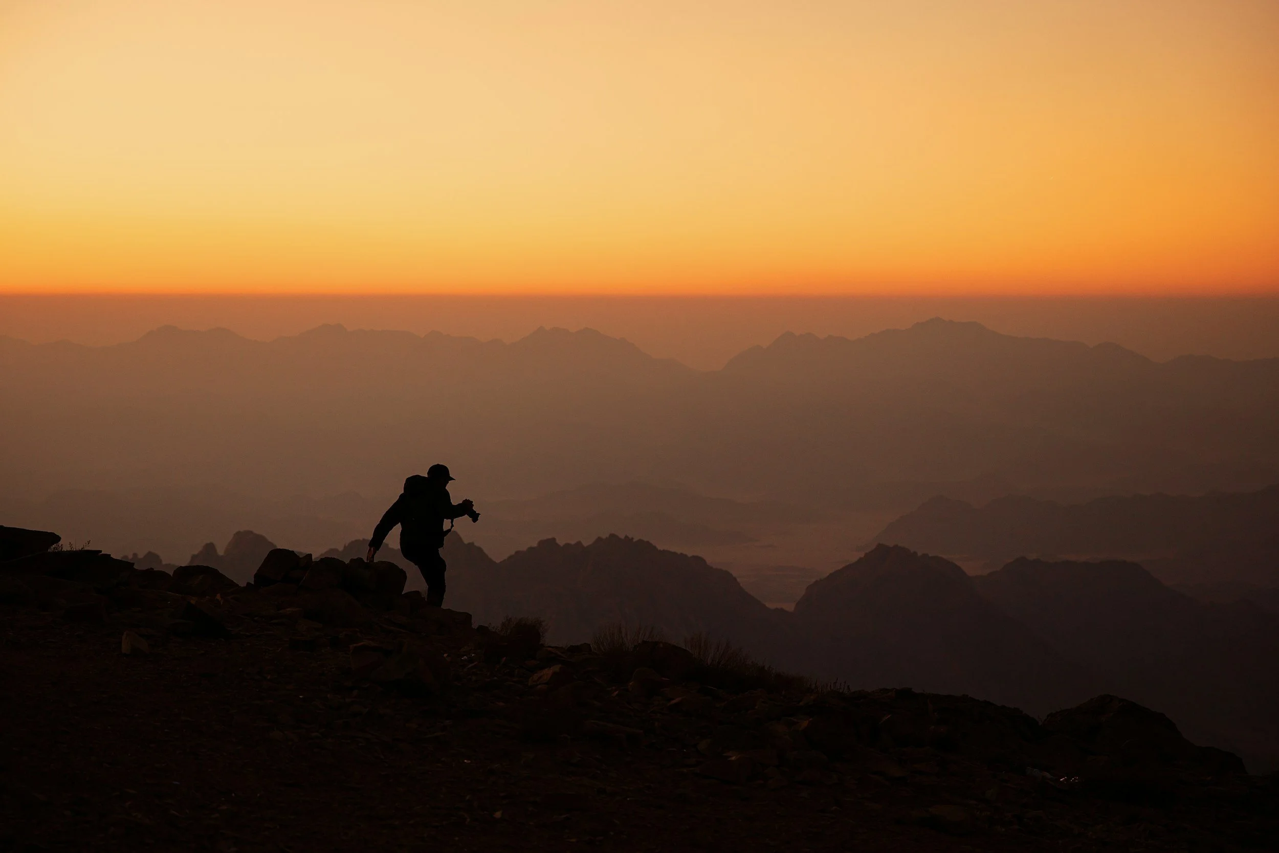
Upload & Georeference your pictures on a map
Turn your photo collection into a visual journey.
Easily upload your images and automatically (or manually) georeference them. Watch as each photo is pinned to its exact location on an interactive map—perfect for field documentation, travel logging, inspections, and visual storytelling.
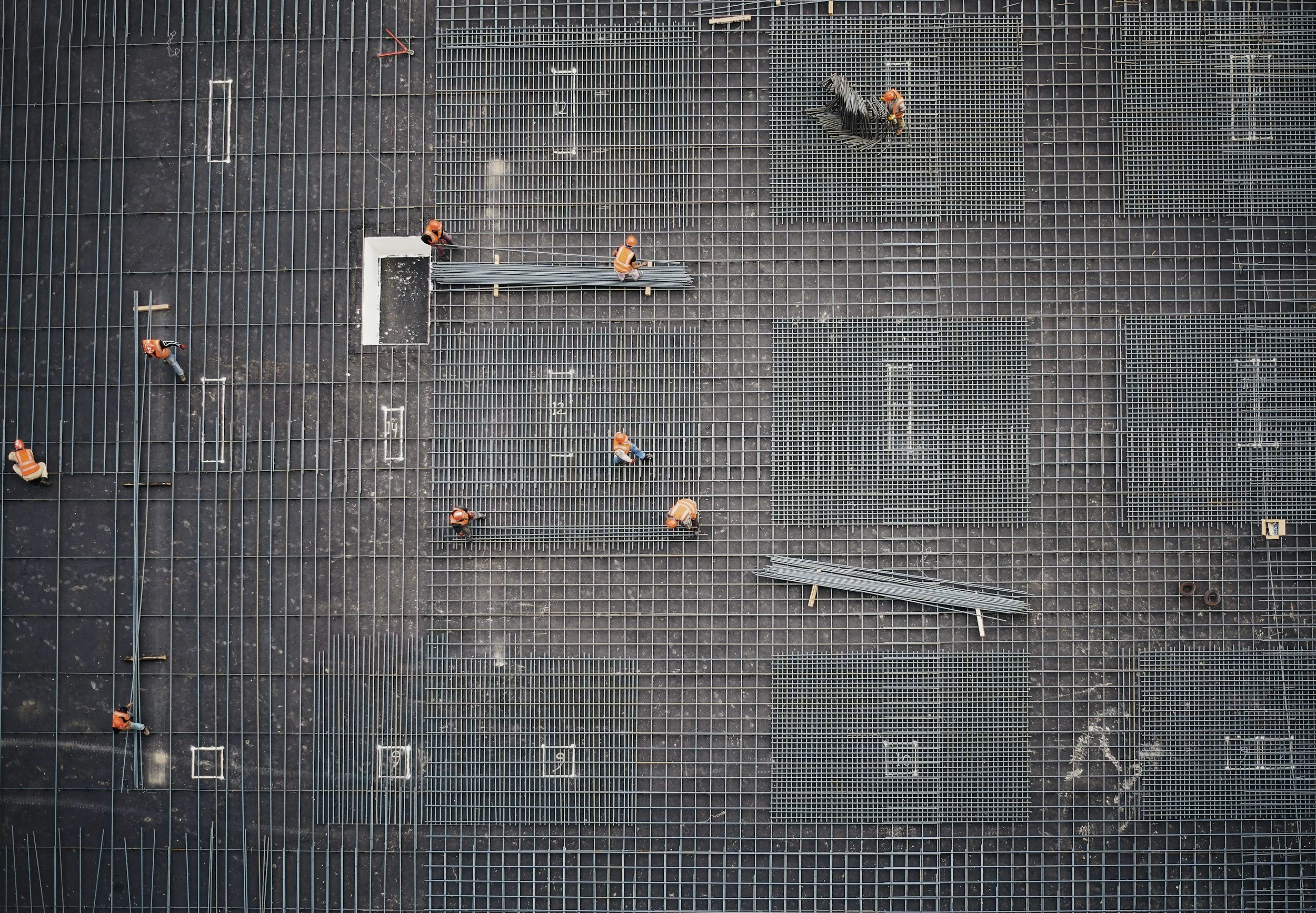
Organize All Your Pictures in One Place
Say goodbye to scattered folders and endless scrolling.
Our clean and intuitive interface brings all your photos together in one secure, searchable library.
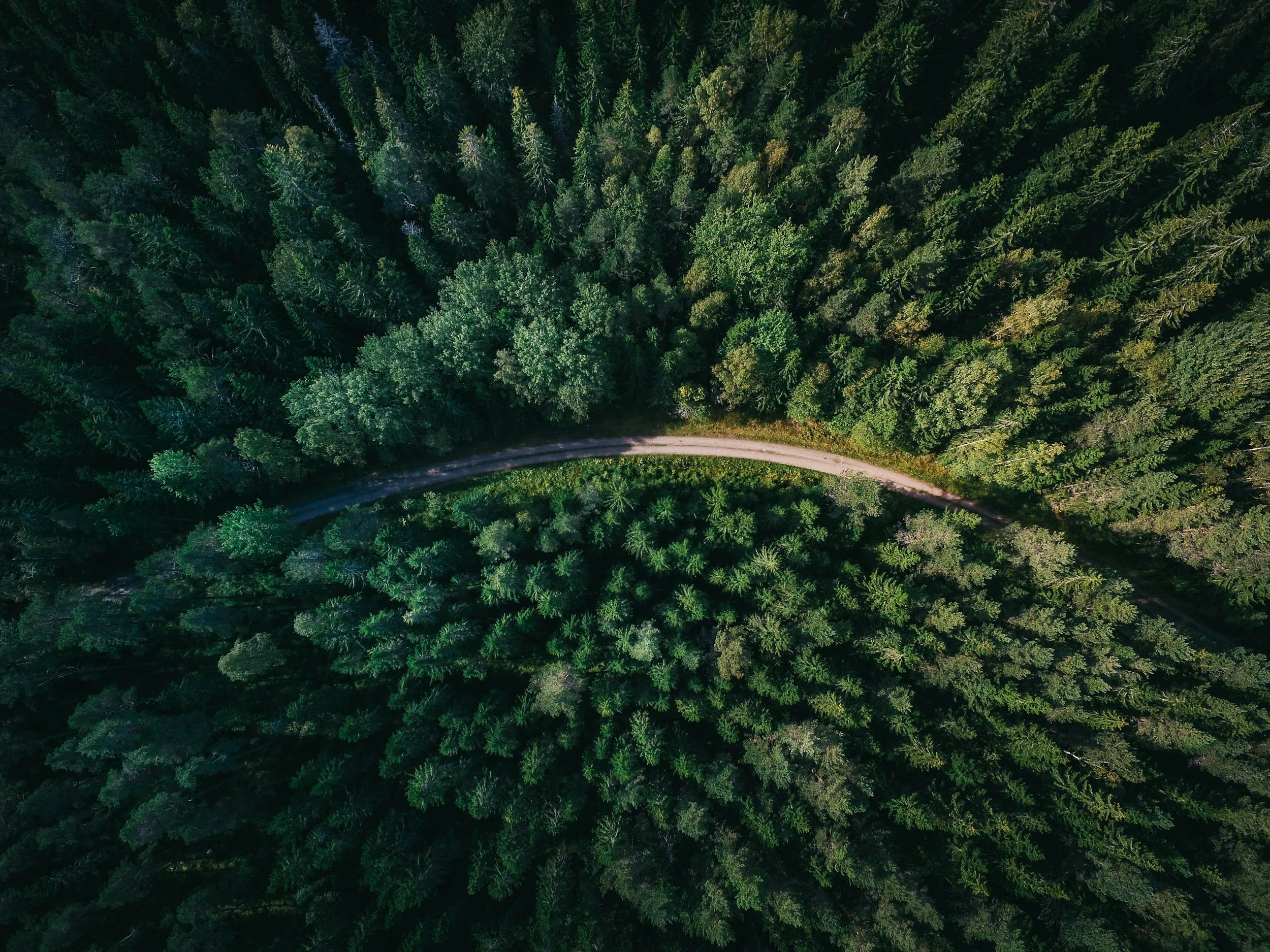
Upload & Visualise 360° Pictures
See every angle—literally.
Whether for immersive project documentation or stunning visual experiences, our 360° viewer brings your panoramic images to life.